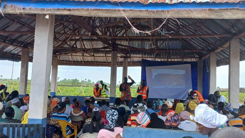
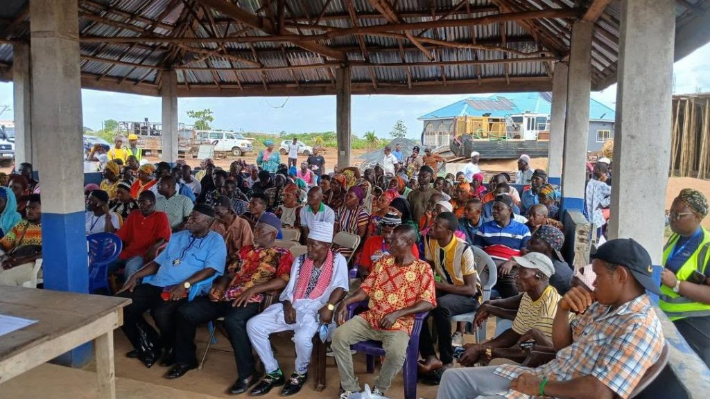
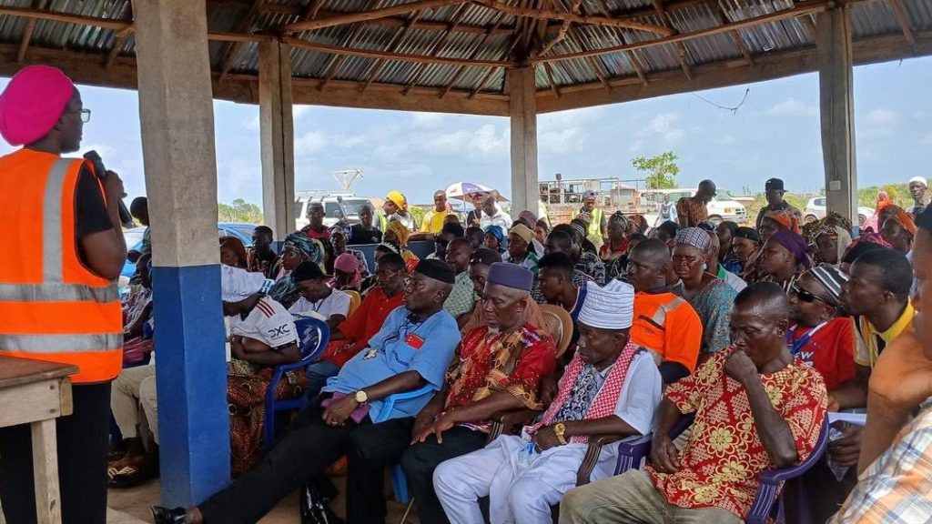
Maforki Chiefdom, Port Loko District – In a significant step under the ongoing Recording and Registration of Land Rights process, landowners from Rogbere Section 1 gathered at the Paramount Chief’s Barray today for a community map presentation and public validation exercise.
The event drew a broad cross-section of participants, including male and female landowners, community stakeholders, traditional authorities, and technical teams from the National Land Commission (NLC) – Port Loko, the Sierra Leone Land Administration Project (SLLAP), MLG and parasurveyors.
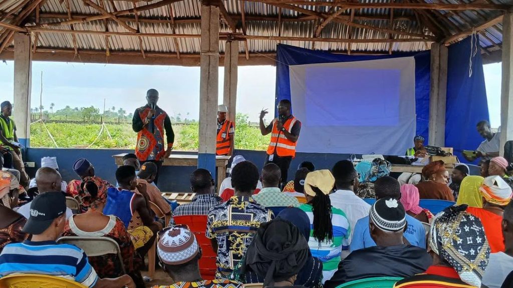
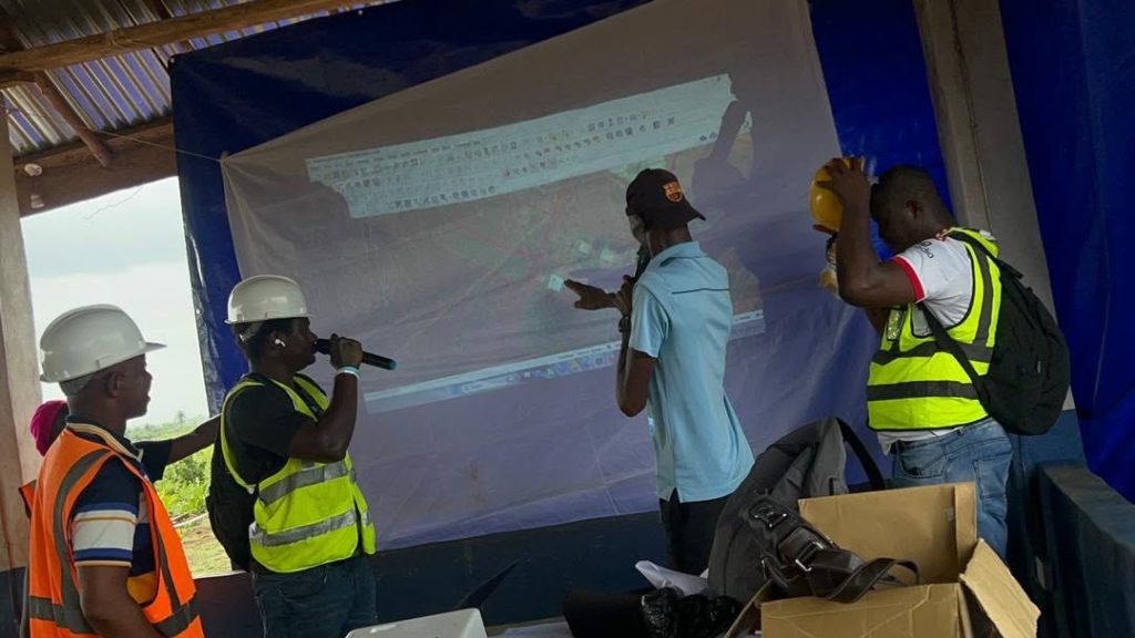
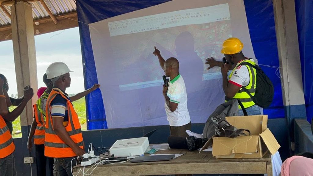
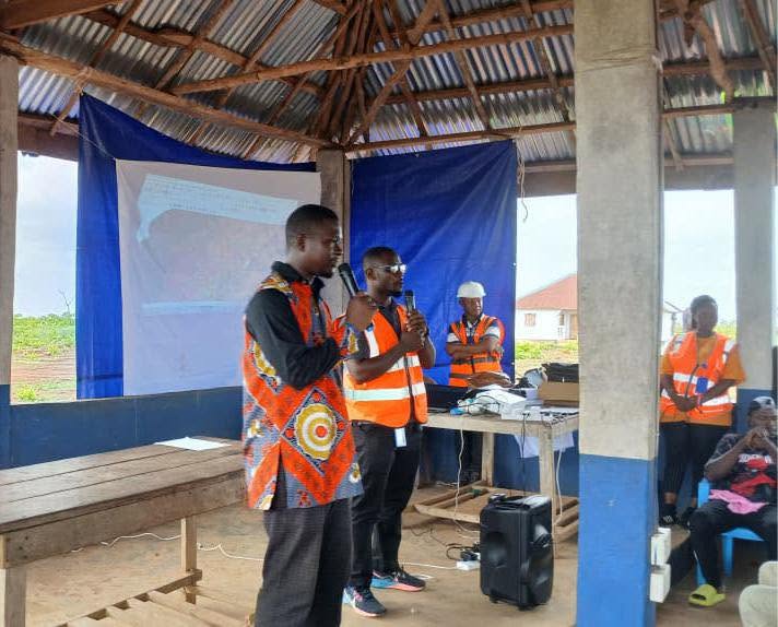
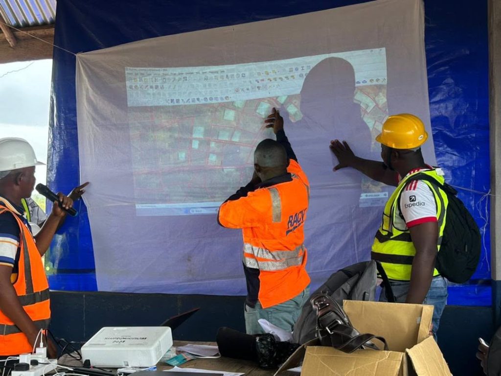
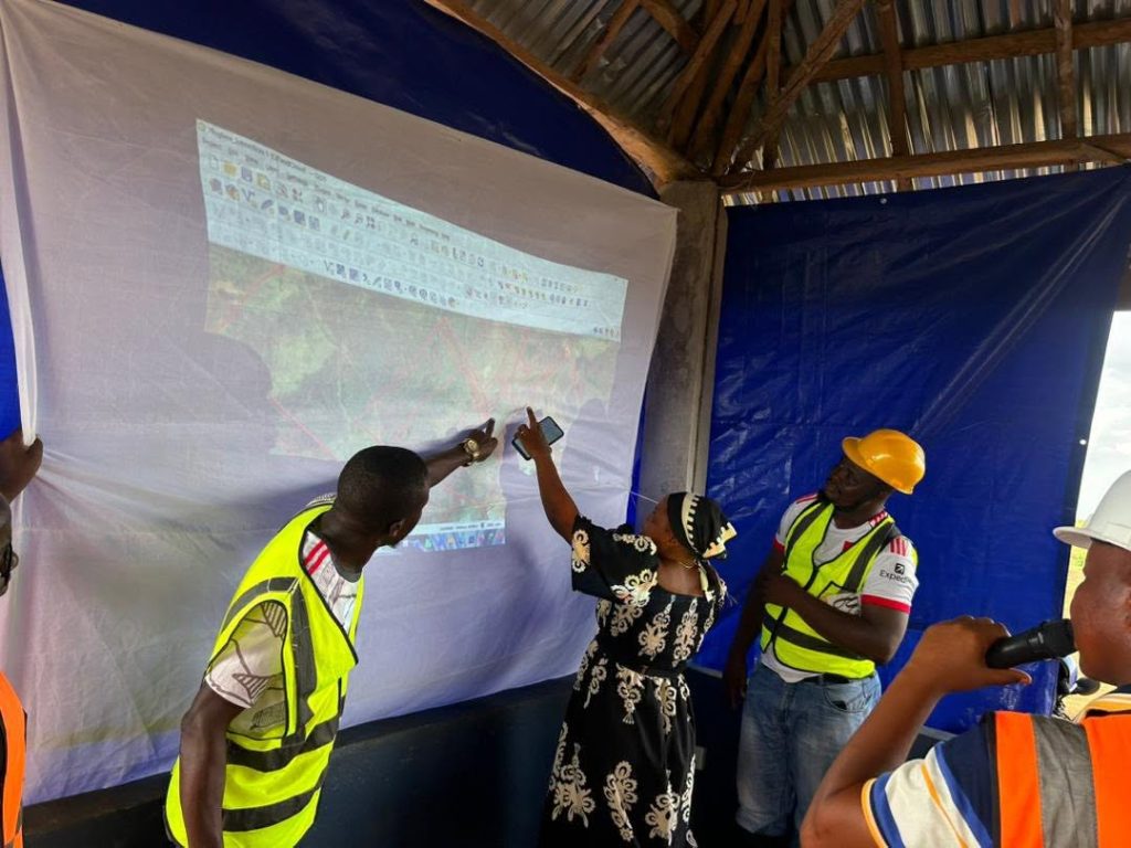
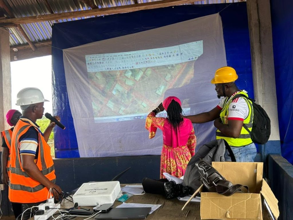
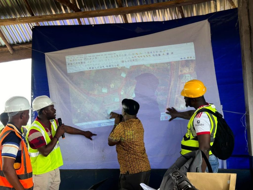
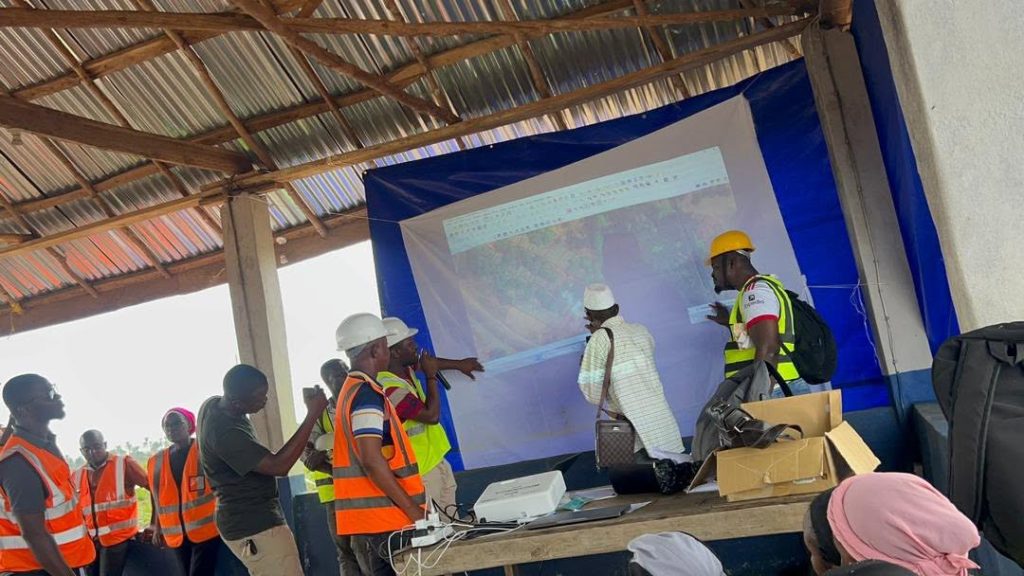
Proceedings opened with registration, prayers, and introductions, followed by welcome remarks from key stakeholders. Organisers then outlined the purpose of the exercise before the mapping team projected the Section 1 land parcel maps for public scrutiny.
In a transparent, participatory session, women and men landowners took turns stepping forward to identify their individual parcels on the projected map. They successfully located their lands, named adjacent landowners, described boundary features, and supplied supplementary details that corroborated the mapped data. The process served as a critical community-led verification, allowing landholders to publicly confirm that the documented parcels accurately reflect their customary holdings.
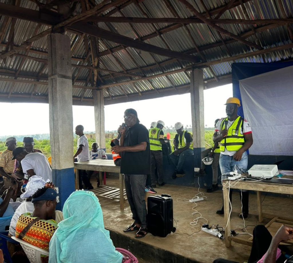
Participants expressed clear satisfaction with the results. One landowner remarked that seeing her parcel clearly delineated and confirmed in front of neighbours gave her confidence in the fairness of the entire registration process. The validation concluded with a consensus that the information presented was accurate and truly representative of land ownership in the section.
Today’s exercise marks important progress in securing land rights in Maforki Chiefdom, reinforcing both the technical integrity of the mapping work and the community’s ownership of the process.
slot138portal.com Situs TOTO TOGEL 138 Alternatif John Resmi Link Toto 4D Terpercaya Dan Daftar Togel Online Primer Asia
Leave a Reply