
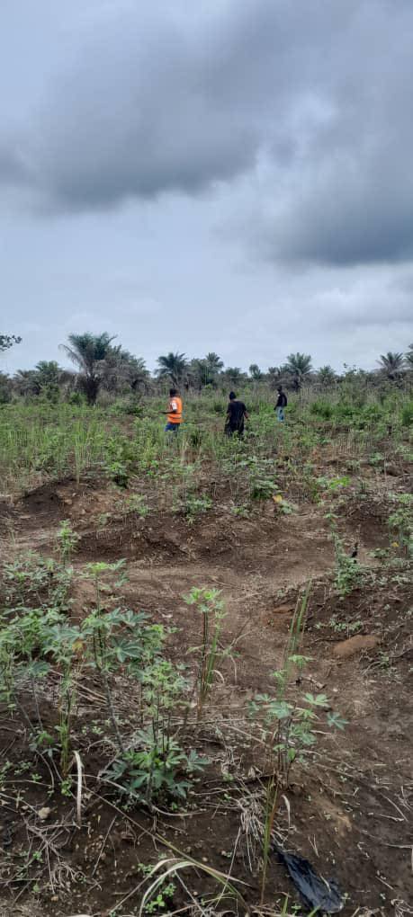
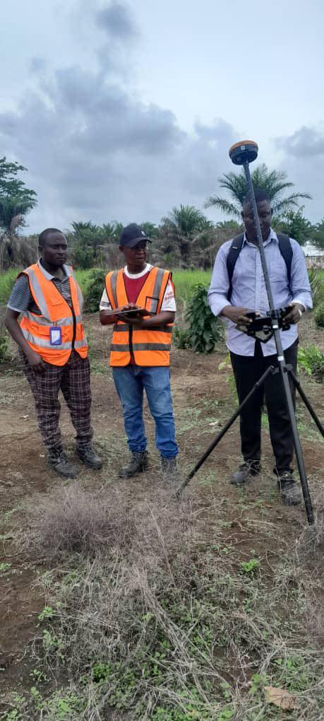
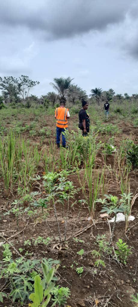
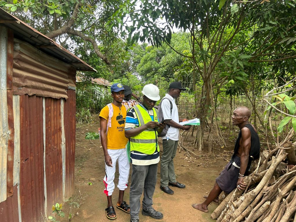
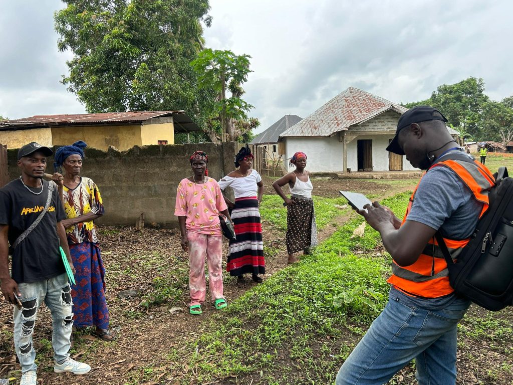
Active field activities are ongoing in Rogbere – Section 2, where parcel boundary delineation and tenure data collection are being carried out simultaneously as part of the ongoing Customary Land Registration (CLR) process.
Parasurveyors and the support team are working closely together and have been divided into teams to enhance coordination and ensure steady progress of the exercise across the section.
The attached photos show both women and men landowners actively participating by identifying and confirming the boundaries of their respective land parcels, reflecting strong community involvement and inclusive participation in the process.
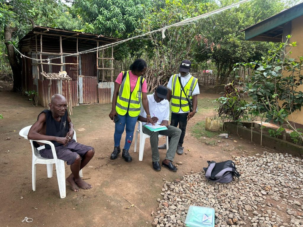
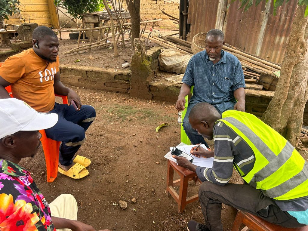
At the same time, the support team continues the filling of Consent Forms and documentation of persons with rights and interests in the parcels to support accurate land registration.
The exercise continues smoothly with active community participation and cooperation throughout Section 2.

slot138portal.com Situs TOTO TOGEL 138 Alternatif John Resmi Link Toto 4D Terpercaya Dan Daftar Togel Online Primer Asia
Leave a Reply