 Consultant presenting the new SLLAP website to SLLAP and Ministry of Lands' staff


Supported by the World Bank, the Sierra Leone Land Administration Project (SLLAP) aims to establish an efficient and accessible land administration system in Sierra Leone. We recognize the critical role of land administration in fostering economic development, social stability, and sustainable land management practices.
The Ministry of Lands, Housing and Country Planning is leading the implementation of the SLLAP. The project seeks to provide land owners, users, and managers with the enabling environment necessary for the widespread adoption of sustainable land management practices.
PROJECT COMPONENTS
1. Institutional Development and Legal Reform
Strengthening the institutional capacity and legal framework for land administration in Sierra Leone. Details >>
2. Land Information System Development
Develop an integrated and modern land information system (LIS) that provides accurate and up-to-date information… Details >>
3. Recording and Registration of Land Tenure Rights
Recording and registration of land tenure rights to ensure secure and formal recognition of land ownership. Details >>
4. Project Management
Providing effective project management support to ensure the successful implementation of the Sierra Leone Land Administration Project…
Details >>
5. Contingency Emergency Response
Developing a contingency emergency response plan to address unforeseen events or emergencies that may impact the… Details >>
LATEST NEWS AND UPDATES
-
Sierra Leone Land Delegation Concludes Fruitful Ghana Study Tour, Sets Sights on Kenya

Accra, Ghana — Friday, 31 July 2026 – The Sierra Leone study tour of Ghana’s land sector has drawn to a close after five days of intensive knowledge exchange, with the delegation set to depart for Nairobi, Kenya, on Saturday 1 August 2026 for the second leg of the mission. Led by Deputy Secretary Alusine…
-
Sierra Leone Land Sector Delegation Begins Study Tour in Ghana to Tap Into Enviable Land Reforms
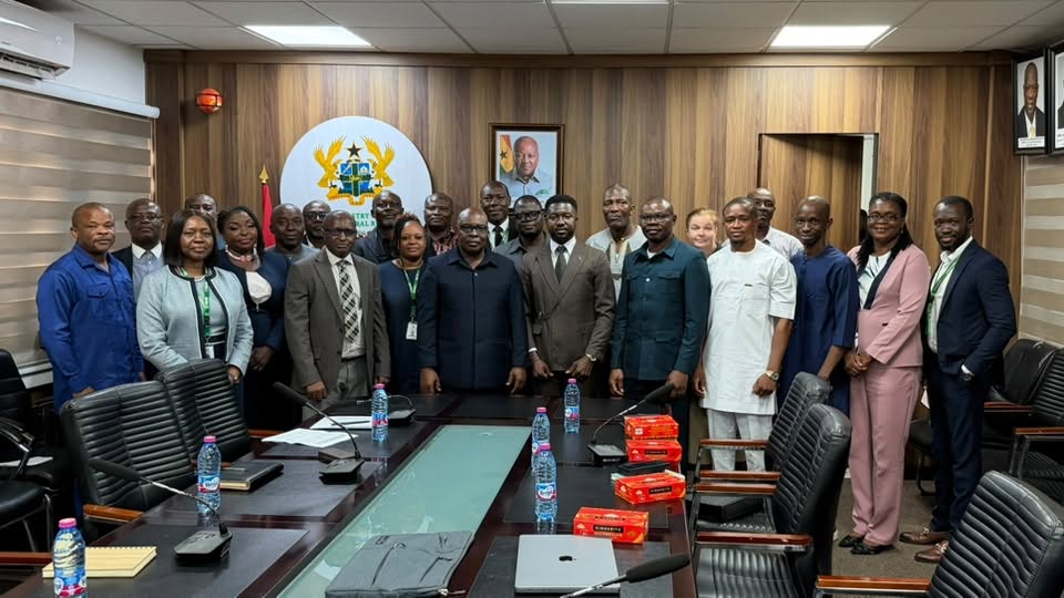
Accra, Ghana — Monday, 27 July 2026 – A high-level delegation from Sierra Leone, led by the Deputy Secretary of the Ministry of Lands, Housing and Country Planning, Alusine Sesay, has commenced a two-week study tour in Ghana, with a subsequent leg planned in Kenya. The mission is designed to draw lessons from Ghana’s widely…
-
Sierra Leone Land Administration Project Conducts Pre-Bid Meeting and Site Visits for Construction of National Land Commission Offices

The Sierra Leone Land Administration Project (SLLAP) has successfully conducted a pre-bid meeting with prospective bidders for the civil works contract for the construction of the National Land Commission Headquarters in Freetown and Regional Offices in Bo, Kenema, Makeni, and Port Loko. Following the meeting, representatives of the Project, consultants, and intending bidders embarked on…